We create conservation communities dedicated to engaging local and indigenous leaders in protecting and regenerating the rainforest, ocean, and desert ecosystems, home to the network of Geoversity campuses. Our approach builds on two decades of work establishing our main campuses:
- Centro Mamoní in the Mamoní Valley in Eastern Panama (Upland rainforest watershed);
- The Borrego Institute for Living Design in southern California (Desert);
- The Urban Forest Campus (Metropolitan Ecosystems of Panama City).
Under development:
- The Pacific Wetlands Field Station in Bayano (Coastal wetlands);
- Atlantic Marine Field Station in the Azores, Portugal (Ocean);
- Anmardup Island in Gunayala (Indigenous Atlantic island/mainland);
- Biocultural Design Center on the Amador Causeway in Panama City (Panama Canal);
- The Pacific Marine Field Station and Conservancy in Cébaco Island (Ocean).

The Diammayala Alliance is an interterritorial, intercultural and multistakeholder alliance with our neighboring Guna, Emberá and Wounaan indigenous peoples focused on the protection and regeneration of the ecosystems and the biological diversity of all watersheds adjacent to the Diammayala ridge. It aims to manage the waters from source to sea and to the benefit of local communities, Panama City and the Panama Canal. Our goal is to establish Latin America’s most comprehensive and effective learning campus for biocultural leadership with an emphasis on indigenous and rural youth participation. More details.

The Upper Mamoní Valley is a sparsely populated mountainous region with close proximity to Panama City. There are four villages: San José de Madroño, El Valle, La Zahina, and Mamoní Arriba (listed east to west). The total population of the Valley is estimated below 500 people, enough to support four small rural schools and one understaffed health center, all of which are located along the Mamoní River and its major tributary, the San José. Smaller ranching outposts are interspersed throughout the Valley—mostly along the main dirt road that runs along the river and connects the four villages.

We recognize that the conversion from livestock production into nature conservation and restoration creates challenges for the local population, especially because they are in most cases landless. In order to pursue our vision for the valley, alternative socio-economic benefits are being explored and implemented:
- Land transfer to community dwellers
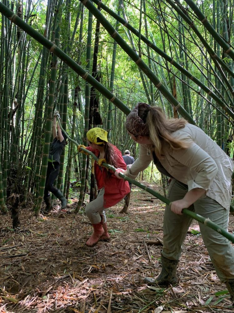
- Community involvement in a bamboo value chain (reforestation, caring, harvest, curing, modeling, and building modular structures)
- Community integration with our Life Changer Grid
- Beneficiaries in non-carbon Benefit Offset projects
- Beneficiaries in Global Climate Change programs
- Employment at our Science and Leadership Training Center, Centro Mamoní

Forest Restoration
Since 2006, and as of 2021, approximately 4,837 hectares (11,939 acres), or 40% of the entire upper Mamoní Valley watershed (12,200 hectares or 30,147 acres), has become part of the Mamoní Valley Preserve (MVP).
On MVP properties, roughly 132 hectares have been reforested through Geoversity initiatives with a combination of bamboo and other native species. In addition to the 100,000+ trees already planted by Geoversity, approximately 600 hectares are in different stages of natural regeneration (forest succession) from once-upon-a-time agriculture and pasture land, the way it was purchased from the farmers.
Bamboo
12 hectares
5,000+ bamboo plants

Native Species
120 hectares
100,000+ trees
600+ hectares natural regeneration
0.5% yearly increase forest cover
As of 2021, the Preserve area has experienced an average 0.5% annual increase in forest cover. This equals 269 hectares of forest gain in the headwaters of the Mamoní River, including 141 hectares of closed secondary forest.
In contrast, an annual -0.7% forest cover loss occurs on the neighbouring properties within the upper Mamoní watershed.
Compared to the forest cover in 2006, researcher data from 2020 shows the Preserve has gained a total of 6.4% of forest cover. This compares to forests outside the Preserve having decreased by 9.8%—a staggering 16.2% difference.

Land Use Monitoring
The land use of the upper Mamoní Valley is monitored by a high-tech science and community-based system called Eyes in the Sky – Feet on the Ground, initially developed in collaboration with the environment organization Forest of the World. With the use of satellite and drone imagery (Eyes in the Sky) and field observations integrated with the Life Changer grid and community awareness (Feet on the Ground), we are able to detect and document land use change and encroachment in the Valley using GIS on a weekly basis, inside and outside the preserve itself.
Here’s a map that shows a layer of satellite data for the year 2000 and a more recent 2018 satellite map, which shows the forest gains in many of the areas. Geoveristy’s community projects, like that of Euroclima’s Non-Carbon Benefits, have also almost entirely stopped large swaths of deforestation. Who knows, without Geoversity’s presence, this entire valley might have been turned into cattle pasture by now!
Conservation Strategies
We are innovating land and sea conservancy models in:
- National and Private Protected Areas
- Indigenous Territories
- Rainforests, Dry Forests, Wetlands, Islands, and Reefs
- UNESCO Ramsar wetlands
- Urban forests
Strategically we are:
- Focusing on entire watersheds and connectivity
- Monitoring land-use change with GIS, satellite data, drone technology, and community participation
- Hosting scientific field researchers
- Promoting sustainable communities
- Honoring the UN’s Declaration on the Rights of Indigenous Peoples
- Contributing to the UN Sustainable Development Goals
- Developing new climate change mitigation strategies
- Fostering collaboration between civil society, state institutions, the private sector, and indigenous people


